The hike was 10.8 kms (6.7 miles) round trip. We were trying to figure out if we should bring a lunch, and Ruth asked how long I thought it would take. There wasn't a whole lot of elevation involved, so I figured maybe three hours. Boy, was I off!
So we didn't pack a lunch. We always bring snacks though, and it's a good thing we did.

The most uphill was right at the start of the hike.
But there was quite a lot of up and down after that.

Ruth, enjoying the view.

Is that some wildlife on the next hill?
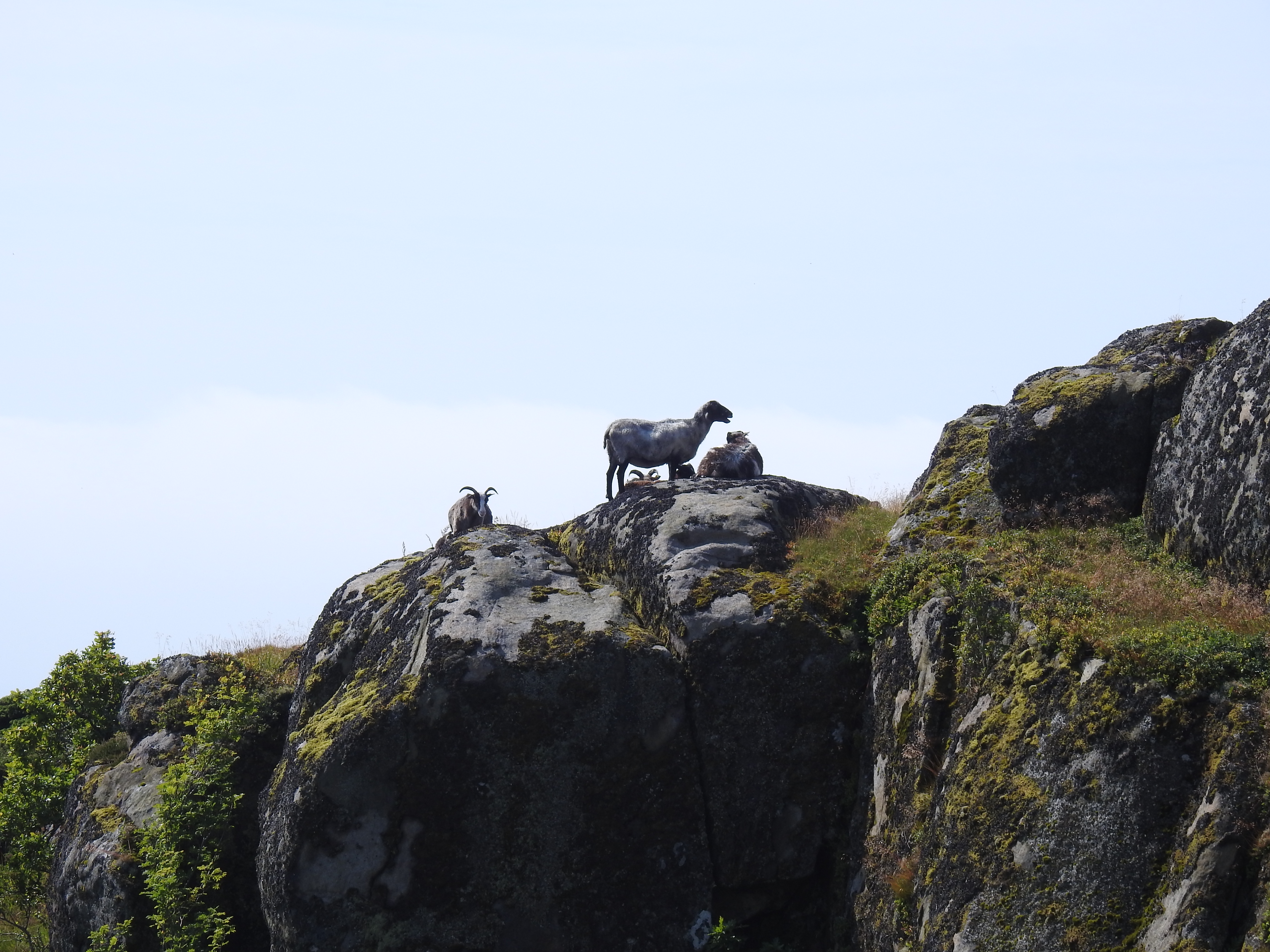
Nope. Just sheep and goats.
The entire time we've been in Norway we haven't had much in the way of wildlife sightings. In fact, we have only seen deer... and even then it was a single solitary deer!

Scenery along the way.

Kevin, at the top!
But this cross was not our destination. We were actually headed for Kolbolten Rock. But we weren't taking the easier trail that leads from the main highway, we were taking the longer back way in from the village of Sogndalstrand.
This route obviously doesn't get used very often. In fact after the cross, we saw no other people footprints in the mud. It was fairly well marked though... with blue dots every 30 meters or so. But in some areas, while we could see the blue dots to follow... there wasn't much of a trail to speak of!

Ruth on the "trail".
You can see the blue dot on the rock, but there wasn't much of a trail.

Notice the blue marker where my hand is.

Heading downhill.

There is a blue dot, but no trail.

And looking ahead.

Trudging through the long grass.
It was really nice scenery, but it was pretty slow going. The long grass was wet with dew, and by this point our legs and feet were soaking wet. It was like walking through water. Even the bottoms of my shorts were wet!

And yet, there were directional signs.
We had only seen one person the whole time and that was back near the cross.

Scenery along the way.


A rope to help you up.


The trail went under this rock.
Notice the blue marker.


We finally made it to Jossingfjord.
This is the point where our trail met up with the more popular main trail from the main highway. We saw some other people ahead of us on the main trail.
Kolbolten Rock is another one of these rocks that is set precariously above the fjord, and people pose on it. It's not nearly as popular a hike as the much more famous Kjeragbolten Rock.

Me, with the view of the fjord.
We made it to the rock and there was only the family in front of us who were already there. None of them wanted to make the effort to get on the rock, but I went down to it to check it out. Unlike Kjeragbolten, this rock is actually pretty flat and the access to it is easier. I made the effort to NOT look down on the left side, and actually walked out onto the rock.

Me, on Kolbolten Rock.
We sat and spoke to the other family for a half an hour or so. They were a local Norwegian family, but the father was originally from Venezuela so we got to practice our Spanish a bit. He and his wife had met in Venezuela (I'm guessing 20 years or so ago) while she was an exchange student there. She is now a Spanish teacher here in Norway. They are now both fluent in Norwegian, English, and Spanish.
Really interesting talking to them.
It was time to leave, but we had a problem.
It had taken us three hours to do the 5.4 kms one way to the rock. Yes, I was way off. We really didn't want to hike back the same way though. It was only 1.7 kms (just over a mile) back to the main highway, and there were several more viewpoints.
We decided to get to the main road and try to hitchhike back to Max!

Ruth coming up to a viewpoint.

Me, and the view.

There's the main road.
There's a tourist parking lot at the main road, and we stood above it on a curve where people had to slow down to get around the curve and there was an easy spot for a car to pull over. We put our thumbs out to about 10 vehicles but nobody would stop.
So we walked down to the parking lot.
A small camper van was getting turned around and the drivers window was open, so I stopped him and asked if they were heading north. They were, so I explained out situation... we were only trying to get back to our motorhome and needed a ride about 8 kms (5 miles). They were a couple about our age from Netherlands, and they said "sure, hop in"!
And in fact, when we got to our spot where Max was, they thought it was so nice that they decided to spend the night as well!
What a good day we had. Off to do another hike this morning!
-----------------------------------------------------------------------------------------------------------------------------
Record low deal on this Energizer Rechargeable Flashlight. It's on sale at a record low, plus there is a 50% off coupon showing!
And in Canada...
I don't think I've ever seen a trail that y'all hiked that was marked with color. Have I missed that or was this one unusual? Smart idea though.
ReplyDeleteYes, most of the hikes that we have been on have been marked with some sort of colour, the normal ones are red and blue. Blue is intermediate and the red is normally more difficult. There is also green which is easy, I am not sure we have seen any green markers on any of our hikes though.
DeleteStunning scenery. Love following your travels.
ReplyDeleteYep, the scenery is definitely stunning, we never tire looking at it.
DeleteWe are happy to hear that you enjoy following along on our travels, thank you. :-)
Beautiful scenery. Strange you had to forge your way through that trail.
ReplyDeleteOn the International News they are showing the British Isles and the Atlantic side of Europe as having a severe Heat Wave.
Be Safe and Enjoy!
It's about time.
the scenery has been amazing throughout our entire travels here in Norway, we can't say that we have seen a boring view the whole time that we have been here.
DeleteIt isn't really strange that we had to forge our way through on the trail, it was well marked but not well traveled, it is not the main trail to the Kolbolten rock, it was more like the back way in. Our only real issue on the trail was the long grass covering the trail over but the trail itself could be seen if you parted the grass away, which is what I kept doing with my hiking poles as I walked along to make sure I wasn't going to trip over rocks or roots.
Yes, we have been seeing that in the news too! We may get a teeny tiny bit of the heatwave as it passes through. We have to say that we would be happier with the cool and wet weather then that baking hot weather.
That was a good day, made all the better with some sunshine. Was thinking that first part of the walk,wet and dewy part, is it cloudberry territory? We are picking cloudberries now in Finland along with chanterelles , blueberries, wild strawberries.
ReplyDeleteIt was a good day, we thoroughly enjoyed ourselves, even trudging through the long wet grass.
DeleteI had to look up what cloudberries were, not sure that I have seen or heard of them before but no, we haven't seen any on the trails just blueberries and I did notice that the raspberries will soon be in season.